Tagged with

unmanned aerial vehicles (UAVs)

Latest Posts

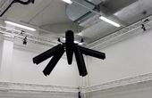
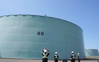
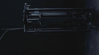
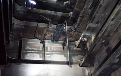
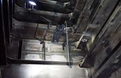
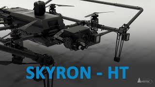
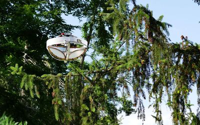
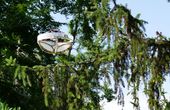
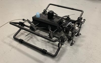
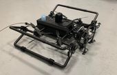
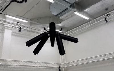
Elythor, an EPFL spin-off, has developed a new drone whose wing shape can adapt to wind conditions and flight position in real time, reducing the drone’s energy consumption. What’s more, the position of the wings can change, allowing the drone to fly vertically or horizontally. These features make it a perfect candidate for inspecting power plants.

New inspection drone uses wind to lengthen flight times

In this article, we will dive deep into the world of simultaneous localization and mapping using Lidar technology. Lidar SLAM has been gaining popularity in recent years, thanks to its versatility and applications across various domains, including autonomous vehicles, mobile robotics, and indoor mapping.

Lidar SLAM: The Ultimate Guide to Simultaneous Localization and Mapping

In a world that runs on data, computer simulations are among our most powerful tools for investigating any scenario. The same is true for NASA Advanced Air Mobility (AAM) researchers as they plan the future of the national airspace. Together with industry partners, these researchers are delivering the data needed to allow self-flying electric air taxis and drones to execute flight paths as easily as your phone maps your car’s route.

On the Fly: NASA Researchers Map Air Taxi Maneuvers in Simulator

Researchers at ETH Zurich and the Swiss Federal research institute WSL have developed a flying device that can land on tree branches to take samples. This opens up a new dimension for scientists previously reserved for biodiversity researchers.

Special drone collects environmental DNA from trees

Profiles